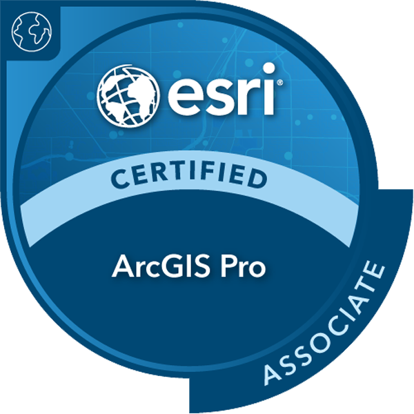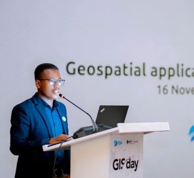
I am Geospatial & Remote Sensing Analyst, Data Scientist & GIS Developer with a strong knowledge in GIS, spatial data analysis, and visualization. I hold Master of Science in Geospatial Technologies from Münster|| Jaume I || NOVA IMS Universities and a Bachelor of Science in Urban & Regional Planning from University of Rwanda. As a certified "ArcGIS Pro Associate 2101" & "AWS Cloud Practioner" I have extensive experience managing geospatial databases, developing innovative GIS applications, and delivering tailored solutions for government agencies, international organizations, NGOs, and private-sector clients..
I’m focused on leveraging Esri technologies and other open sources, Python, SQL, ArcGIS, R, JavaScript, Tableau and Power BI to contribute to data-driven solutions Through:
I have three years of experience in the Geospatial Information (GI) field, having worked as a GIS Specialist at Esri Rwanda. Esri Rwanda is the official and exclusive distributor of Esri Inc. products and services across Rwanda, Burundi, and the Republic of Congo.
• Managing PostgreSQL relational databases for geospatial data,
integrating them with ArcGIS Server to generate services, and
seamlessly connecting them with ArcGIS Online/Enterprise
environments.
• Working on different company projects, which involve
preparing, cleaning, processing geospatial data, and analyzing
both spatial and non-spatial informations.
• Facilitating data collection, interpretation, and visualization
through development and configuration of fields data apps, Dashboards, web maps, apps, and mobile
application.
• Give training to Esri Rwanda clients on how to they can utilize Esri solutions to solve
various geospatial problems.
I specialize in solving real-world spatial problems using both Esri-based technologies and open-source tools. My expertise lies in leveraging geospatial analysis to craft effective and innovative solutions tailored to real-world challenges.
Demonstrated foundational cloud computing skills through hands-on completion of AWS Cloud Quest: Cloud Practitioner, including core services, cloud architecture, security, and cost management principles.
With a strong foundation in database systems, I design and manage robust, scalable data architectures that support efficient data storage, retrieval, and analysis, empowering insights across diverse applications.
I bridge front-end and back-end technologies to create seamless, user-friendly web applications. Using tools like Python, HTML, CSS, JavaScript, Dash, and jQuery, I develop interactive dashboards that transform data into actionable insights.
I harness the power of machine learning to automate insights and decision-making. By applying advanced algorithms and pattern recognition techniques, I enable intelligent systems to solve complex problems and deliver data-driven results.
On May, 2025,I have obtaing AWS Cloud Quest: Cloud Practioner badge which verifies that had demonstrated basic solution building knowledge using AWS services and has a fundamental understanding of AWS Cloud concepts. Earners have gained hands-on experience with compute, networking, database, and security services.
On May 30, 2022, I was awarded the ArcGIS Pro 2101 certification after successfully passing the Esri technical exam. This rigorous exam is designed to evaluate the skills and expertise of GIS professionals in solving complex geospatial problems With ArcGIS Solutions.
On March 15, 2023, I was awarded the prestigious Erasmus Mundus Scholarship to pursue a Master’s in Geospatial Technologies. This program takes place across three European universities: the University of Münster in Germany, Jaume I University in Spain, and NOVA University in Portugal.
This dashboard visualizes the performance data from a location-based navigation app, detailing speed, travel metrics, and route navigation for different participant groups in a wayfinding task.
This interactive dashboard showcases the impact of urbanization on existing land cover in the city of Kigali from 2017 to 2023, using Esri land use and land cover classified images.
The hydroModelling package facilitates hydrological data analysis and visualization for studying water flow and distribution. It enables users to load, process, and visualize Digital Elevation Model (DEM) data as a foundation for hydrological modeling. Key features include tools for flow accumulation and watershed delineation.
This project analyzes energy distribution patterns and the financial investments required for sustainable energy infrastructure. It highlights regional disparities and investment trends to inform strategies for a balanced and resilient energy sector.
This project explores refugee and migrant movements across European Union countries in detail, using data obtained from the UNHCR portal, covering the period from 2015 to 2023.
This dashboard presents the current population status of Rwanda, detailing the number of males and females. It provides insights into the country's rapid population growth by examining significant increases recorded over each ten-year period. Rwanda's first census took place in 2000, and the data for this analysis was sourced from the Rwanda National Statistics Portal.